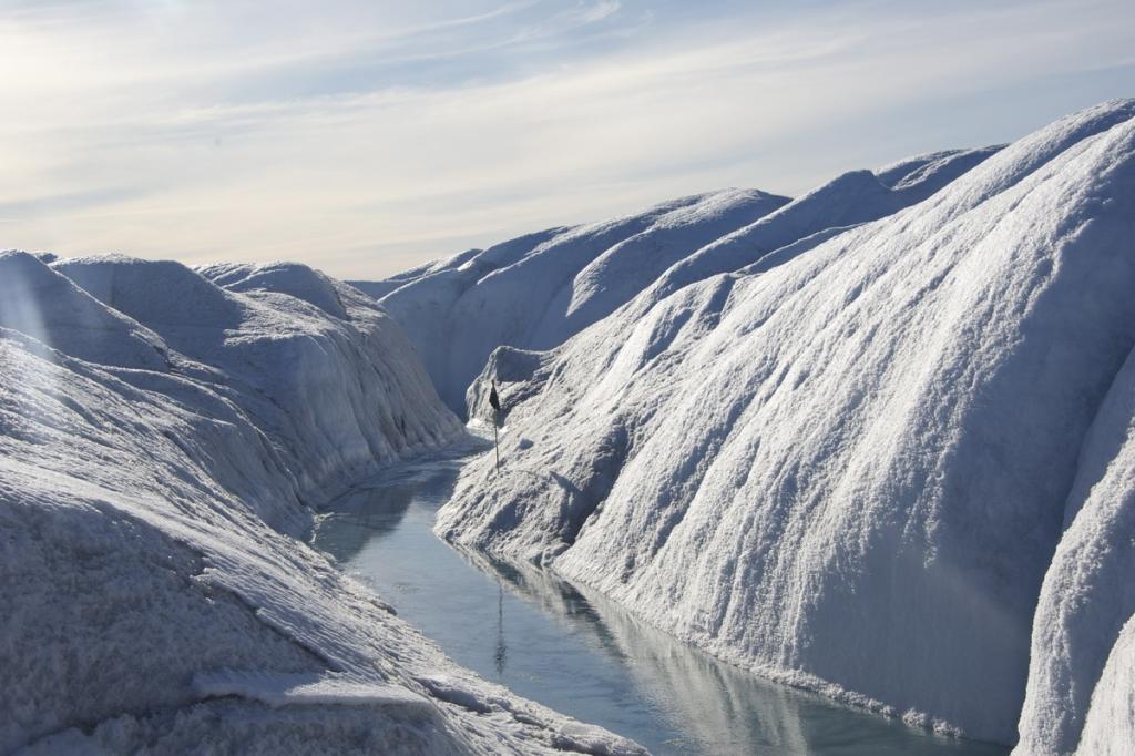
© A meltwater stream on the Russell Glacier in western Greenland. Image taken during an expedition led by AWI glaciologist Coen Hofstede.
(c) Coen Hofstede

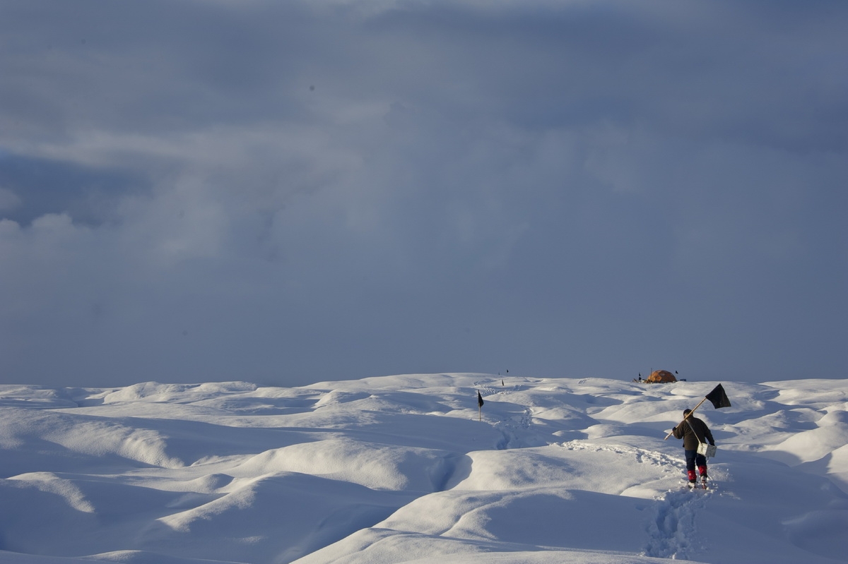
© AWI glaciologist on the Russell Glacier in western Greenland. Image taken during an expedition led by AWI glaciologist Coen Hofstede.
(c) Coen Hofstede

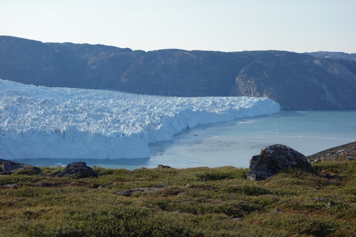
© Aerial view of the Store Glacier in western Greenland (Uummannaq fjord).
(c) Coen Hofstede

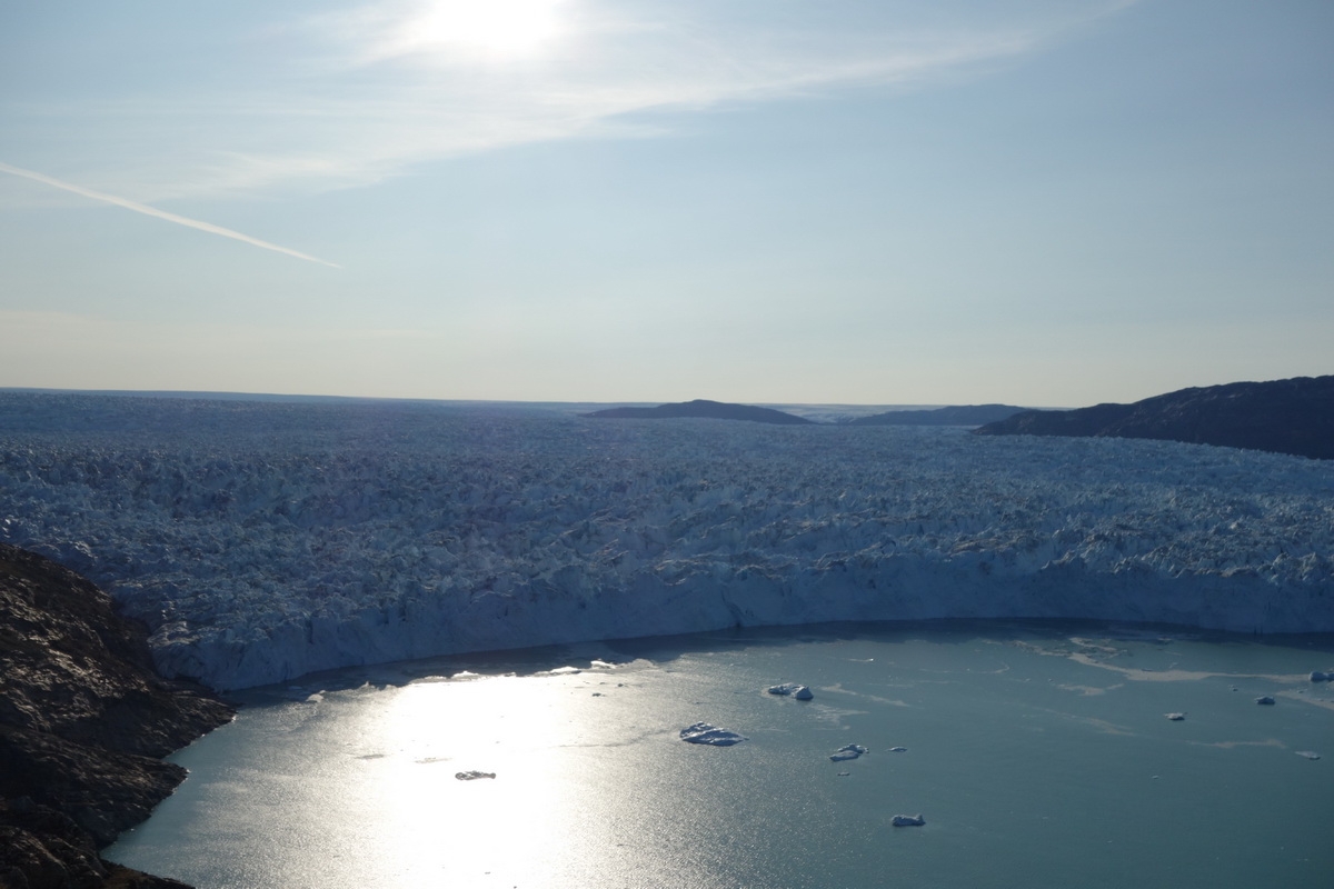
© Aerial view of the Store Glacier in western Greenland (Uummannaq fjord).
(c) Coen Hofstede
New measurements indicate greater mass loss from Greenland ice sheet than previous thought
September 27, 2016
Amount of annual ice loss actually 272 Giga tonsThe loss of ice mass from the Greenland ice sheet is greater than
previously thought, says a team of international researchers. According
to them, the uplift of the bedrock (called glacial isostatic
adjustment) had not been correctly taken into account when the
glaciers’ mass balance was measured by satellite previously. This means
that the amount of annual ice loss was actually 272 Giga tons (Gt) from
2004 to 2015, instead of the previously calculated amount of 253 Gt.
Their results of their study has been published in the Science Advances journal.
Such glacial isostatic uplifting is well known. For example, in
Scandinavia, some 20,000 years ago, the ice sheet extended over the
Baltic Sea to present-day Germany. It was more than a kilometre thick.
Similarly, Greenland was covered by much more ice in the past, and this
caused the lithosphere to be pressed downwards.
Today, this process has
been reversed and the ice sheet has risen up again. The uplift rate
depends on the thickness of the ice mass and the properties of the
lithosphere and mantle.
However, it is here that models of those times were inaccurate, as they
did not take into account Greenland’s geological past: The portion of
the Earth’s crust above Greenland had passed over a hotspot in the
mantle some 40 million years ago. As a result, the lithosphere beneath
Greenland thinned and got warmer.
Today, Iceland, with its volcanoes
and hot springs, is right above this very hotspot.
For the first time, the measurement of the uplift was made possible by
a network of GPS observation points implanted directly into the bedrock
by Associate Professor Shfaqat A Khan (of the Technical University of
Denmark) and his team, in the harsh terrain.
They also monitored the
observation points regularly. As a result, they were able to prove that
the uplift rate was significantly higher than in previous calculations.
They also detected a much larger amount of ice loss since the last ice
age: Where it was estimated that the melting Greenland ice sheet had
caused a 3.2 metre rise in sea level over the last 20,000 years, the
new study yielded a higher amount at about 4.6 metres.
The researchers had also discovered much discrepancy between the
earlier estimates and actual measurements in the northwestern and
southeastern region of Greenland.
It is likely that the climate
sensitivity there is higher than previously thought, as the glaciers in
these areas mostly carve directly into the ocean, and these regions
have the most loss of ice mass. The researchers anticipate that the
dwindling ice would contribute greatly to increased sea levels in the
coming centuries.
Link to study